País: España – Ciudad: Madrid – 28003 Dirección: Calle General Ibáñez de Ibero 3
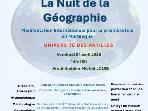
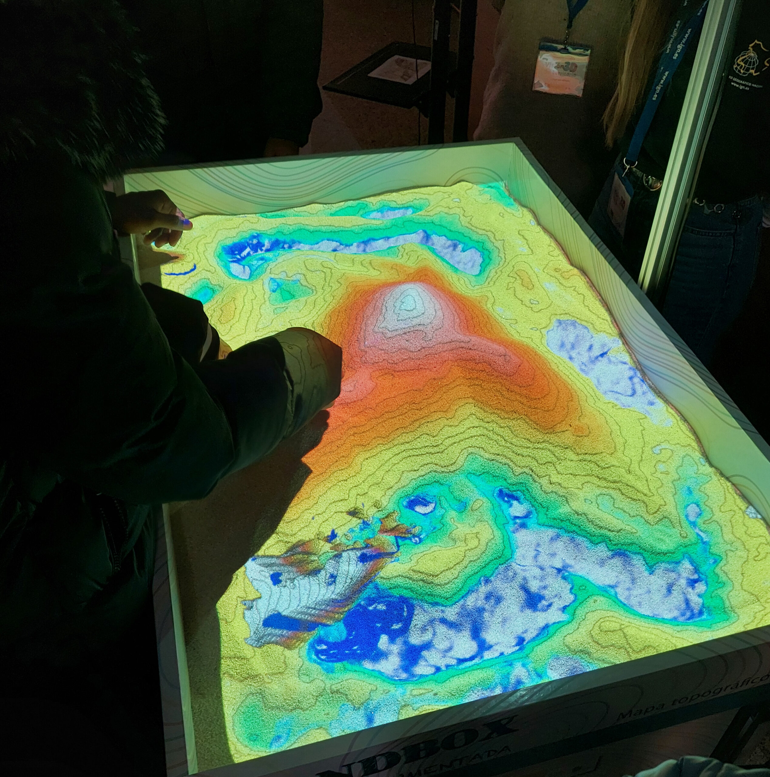
Descubre cÓmo se representa el relieve en 3D con el sandbox del ign
Descripción:
📌 Descubre cómo se representa el relieve de cualquier lugar geográfico con el cajón de arena (o sandbox) del Instituto Geográfico Nacional.
Modela la arena y observa cómo el terreno cobra vida con colores y curvas de nivel en tiempo real 🌍🏔️.
¡Una forma divertida y educativa de aprender geografía!
Necesaria la inscripción previa para participar en la actividad.
- Plazo de inscripción: hasta el 1 de abril de 2025
- Para hacer tu reserva, escríbenos a: inscripcion@cnig.es
Principales objetivos:
- Acercar la representación del relieve a través de la realidad aumentada.
- Explicar el funcionamiento del cajón de arena (o Sandbox).
- Crear un mapa interactivo que represente el terreno en forma de curvas de nivel y tintas hipsométricas.
Información del evento:
| Organizadores: | Instituto Geográfico Nacional (IGN) – Recursos Educativos de Geografía |
| Lugar: | Puerta principal del IGN. C/ Gral Ibáñez de Ibero, 3. 28003, Madrid. |
| Día/ Hora de inicio: | El 4 de abril a las 12:00 pm. Los participantes se deben presentar 10 minutos antes de la actividad. |
| Duración estimada: | 30 minutos. |
| Modalidad: | Presencial. |
| Idioma: | Español. |
Enlaces de interés:
- Visita Educa IGN para conocer más recursos educativos de geografía.
- Video @IGNSpain: Mapa interactivo 3D en tiempo real
Discover how relief is represented in 3D with ign’s sandbox
Description:
📌 Discover how the terrain of any geographical location is represented with the sandbox of the National Geographic Institute (IGN).
Shape the sand and watch how the terrain comes to life with colors and contour lines in real time 🌍🏔️.
A fun and educational way to learn about geography!
Prior registration is required to participate in the activity.
- Registration deadline: until April 1st, 2025
- To make your reservation, write to us at: inscripcion@cnig.es
Main objetives:
- Bring the representation of terrain closer through augmented reality
- Explain the functioning of the sandbox (or Sandbox).
- Create an interactive map that represents the terrain in the form of contour lines and hypsometric tints..
Event information:
| Organizers: | Instituto Geográfico Nacional (IGN) – Educational Resources of Geography |
| Place: | Main door of the IGN. C/ Gral Ibáñez de Ibero, 3. 28003, Madrid. |
| Day/ Estimated starting time: | April 4th at 12:00 pm. Participants must arrive 10 minutes before the start of the activity. |
| Expected duration: | 30 minutes. |
| The event will be: | Face-to-fase. |
| Event language: | Spanish. |
Links of interest:
- Visit Educa IGN to learn more about educational geography resources.
- Video @IGNSpain: Mapa interactivo 3D en tiempo real
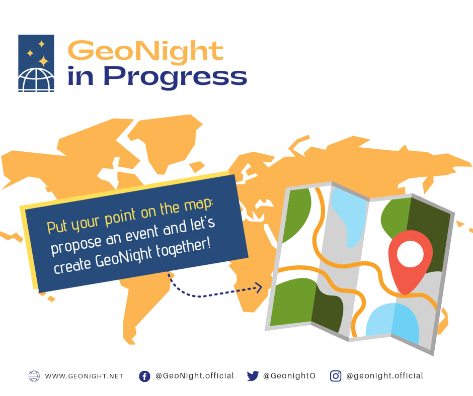
GeoNight code: