Country: Tanzania – City: Morogoro – Address:
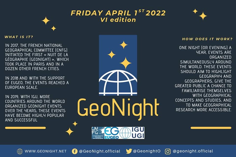
Mapping for Resilience: Open Data and Community Mapping for Disaster Preparedness
Description:
This GeoNight event will focus on how Open Data and community mapping contribute to disaster preparedness and resilience. Participants will engage in a hands-on mapathon using OpenStreetMap (OSM) and other geospatial tools to map areas vulnerable to floods, landslides, and other natural hazards.
The event will include:
– A short talk on the role of open mapping in disaster risk reduction.
– A live mapping session using tools like HOT Tasking Manager, Map Roulette, and JOSM.
– A panel discussion featuring experts in GIS, remote sensing, and disaster management to explore real-world applications.
This event aims to bring together students, researchers, GIS professionals, and local communities to collaboratively contribute to open geospatial data for a more resilient future.
Main objectives:
The event aims to raise awareness on the role of open geospatial data in disaster preparedness, equipping participants with hands-on skills in OpenStreetMap (OSM) mapping tools to improve data coverage in vulnerable areas. Additionally, it seeks to foster collaboration among students, researchers, GIS professionals, and disaster management stakeholders to promote the use of open data for real-world problem-solving.
Event language: Swahili
The event will be: Mixed (Online AND in presence)
Link (for online events): it will be displayed here as soon as possible
Reference person: edga@geote.org – Role or function: GIS & Open Mapping Manager – Reference organization: Geospatial Technology and Environment Tanzania (GeoTE – Tanzania)
Those who organize are: Geography enthusiasts
Estimated starting time (local time): 8:00:00 PM
Expected duration: until late at night
Event program: it will be displayed here as soon as possible
GeoNight code: